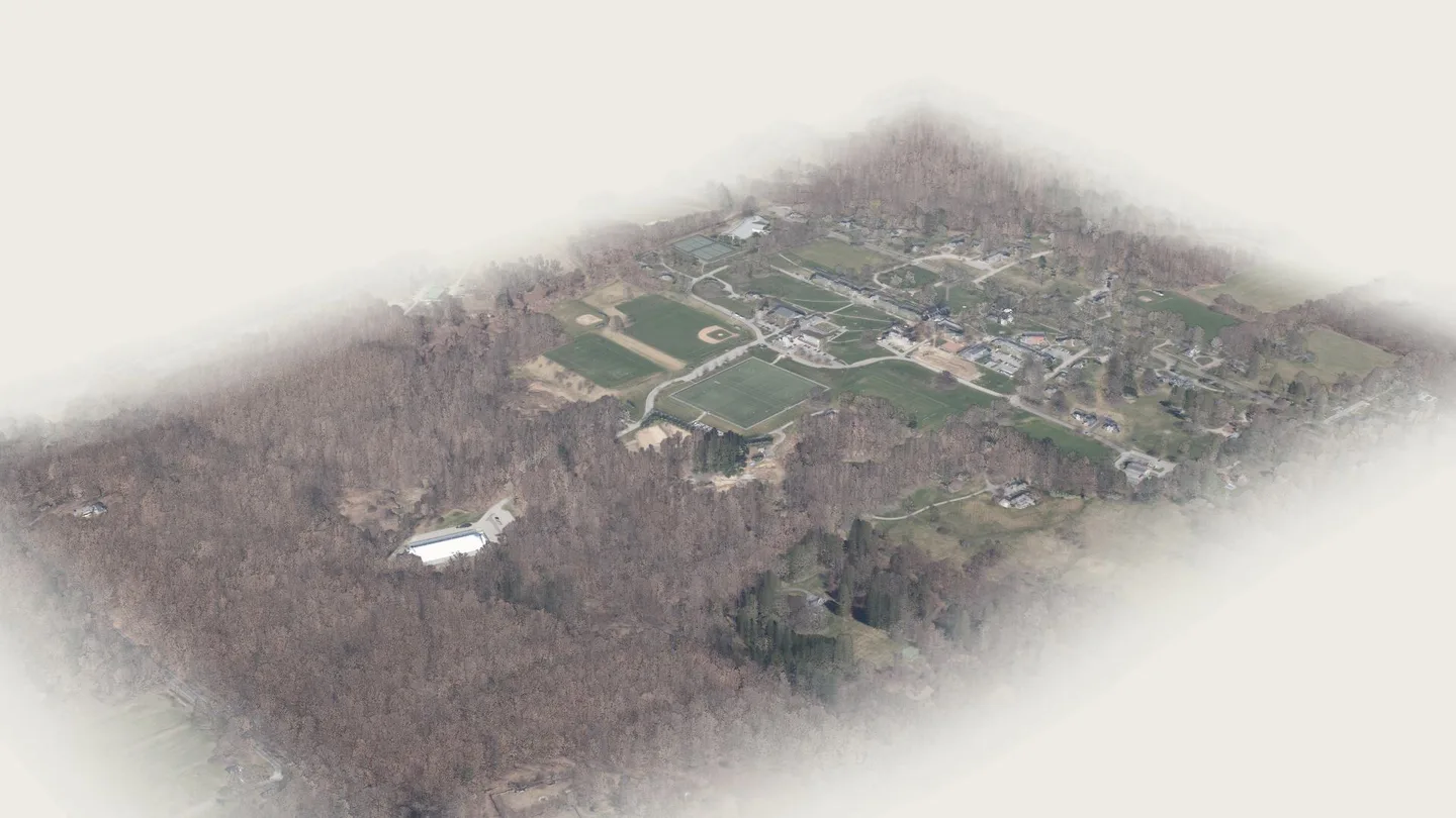
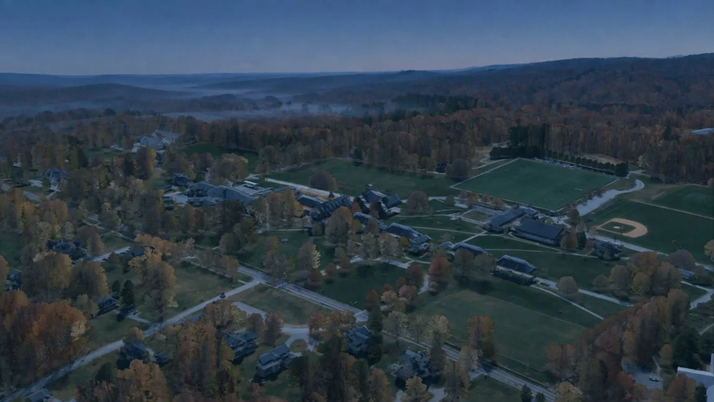
hill-octoberAI-generated atmosphere over a real 2023 survey of the campusCT State GIS Office. (2023). 2023 Aerial imagery. Retrieved from https://maps.cteco.uconn.edu/data/flight2023/. Lidar: 2023 Connecticut Statewide Lidar, NOAA Office for Coastal Management Digital Coast, dataset 10296.
01 / Take part
Programs & community spaces.Programs &community spaces.
Through shared spaces and everyday learning, there are many ways to take part in community life.
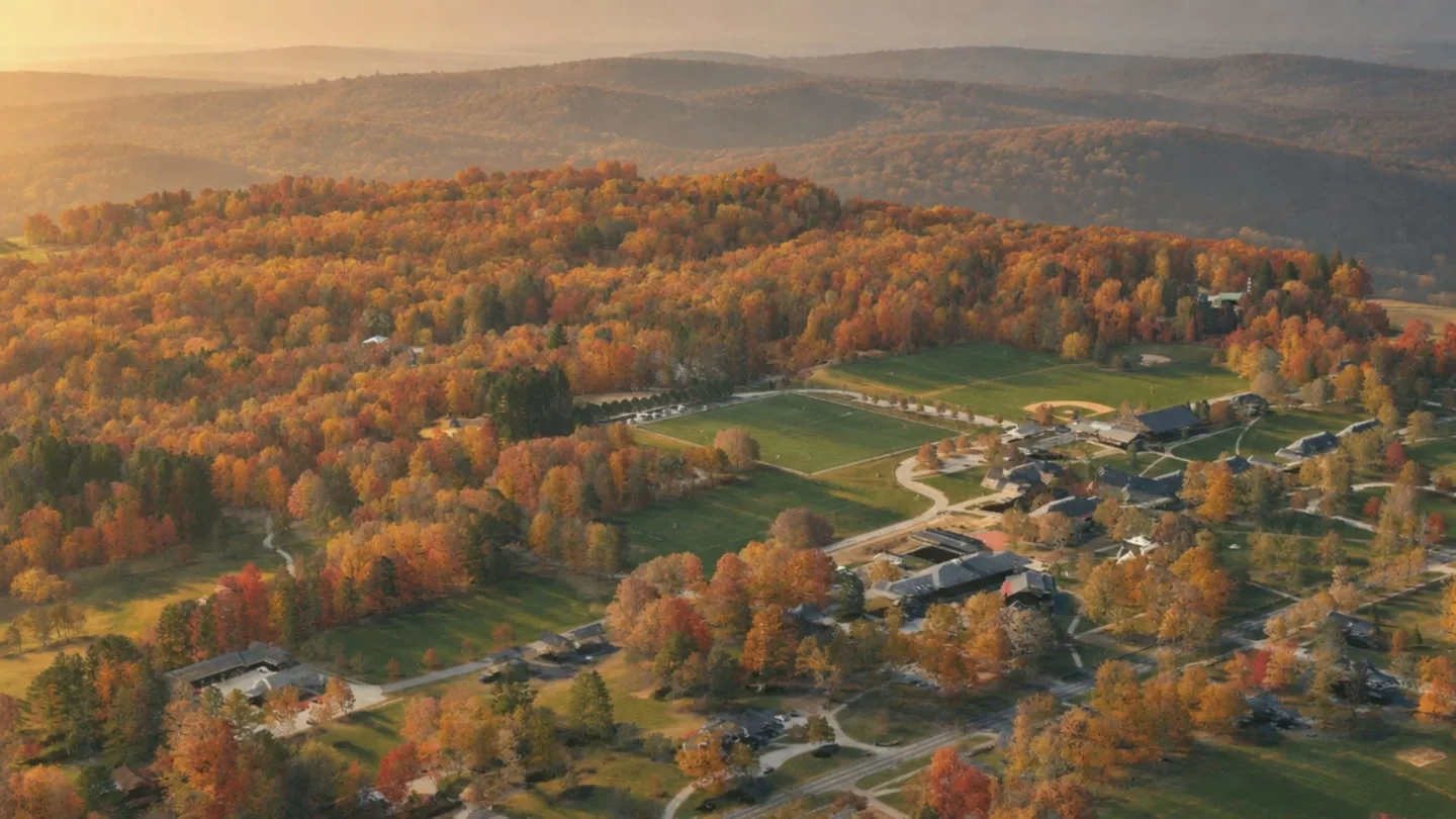
hill-fogAI-generated atmosphere over a real 2023 survey of the campusCT State GIS Office. (2023). 2023 Aerial imagery. Retrieved from https://maps.cteco.uconn.edu/data/flight2023/. Lidar: 2023 Connecticut Statewide Lidar, NOAA Office for Coastal Management Digital Coast, dataset 10296.
Connect with the Community and Belonging team, or find the school’s guidance for reporting a bias incident.
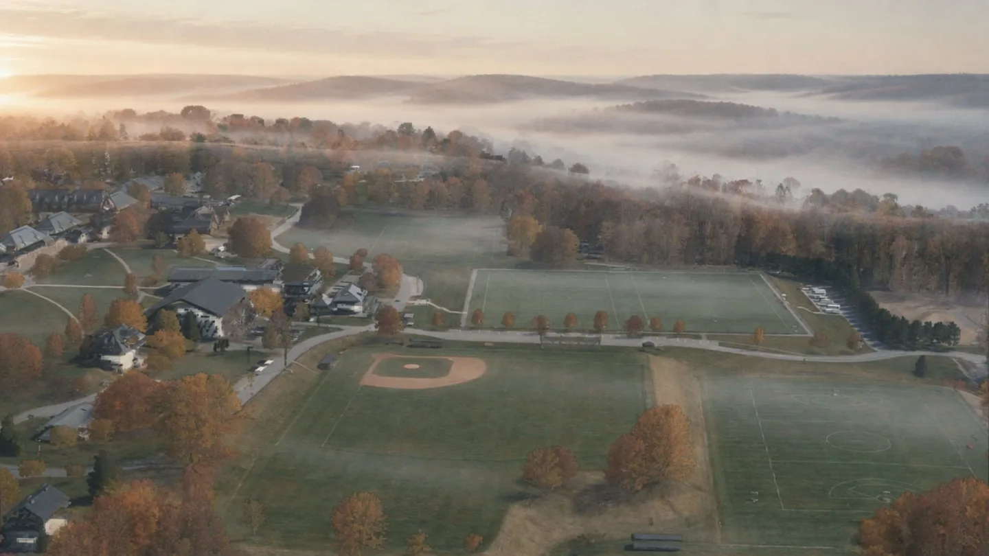
hill-blue-hourAI-generated atmosphere over a real 2023 survey of the campusCT State GIS Office. (2023). 2023 Aerial imagery. Retrieved from https://maps.cteco.uconn.edu/data/flight2023/. Lidar: 2023 Connecticut Statewide Lidar, NOAA Office for Coastal Management Digital Coast, dataset 10296.
03 / The historical collection
Explore Pomfret’s history of inclusion.Explore Pomfret’shistory ofinclusion.
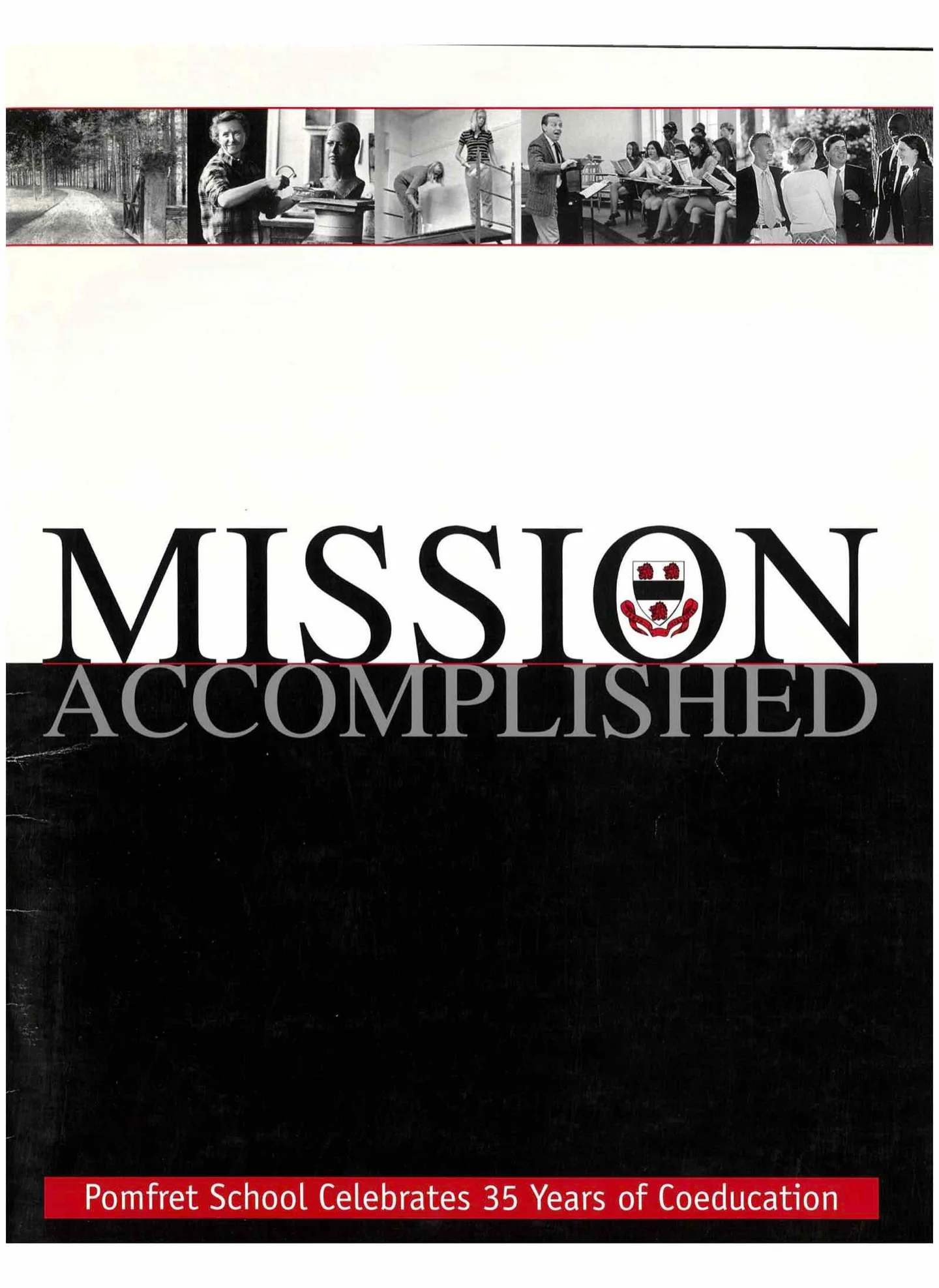
School publications, personal stories, and places offer a way to examine the history of inclusion at Pomfret.
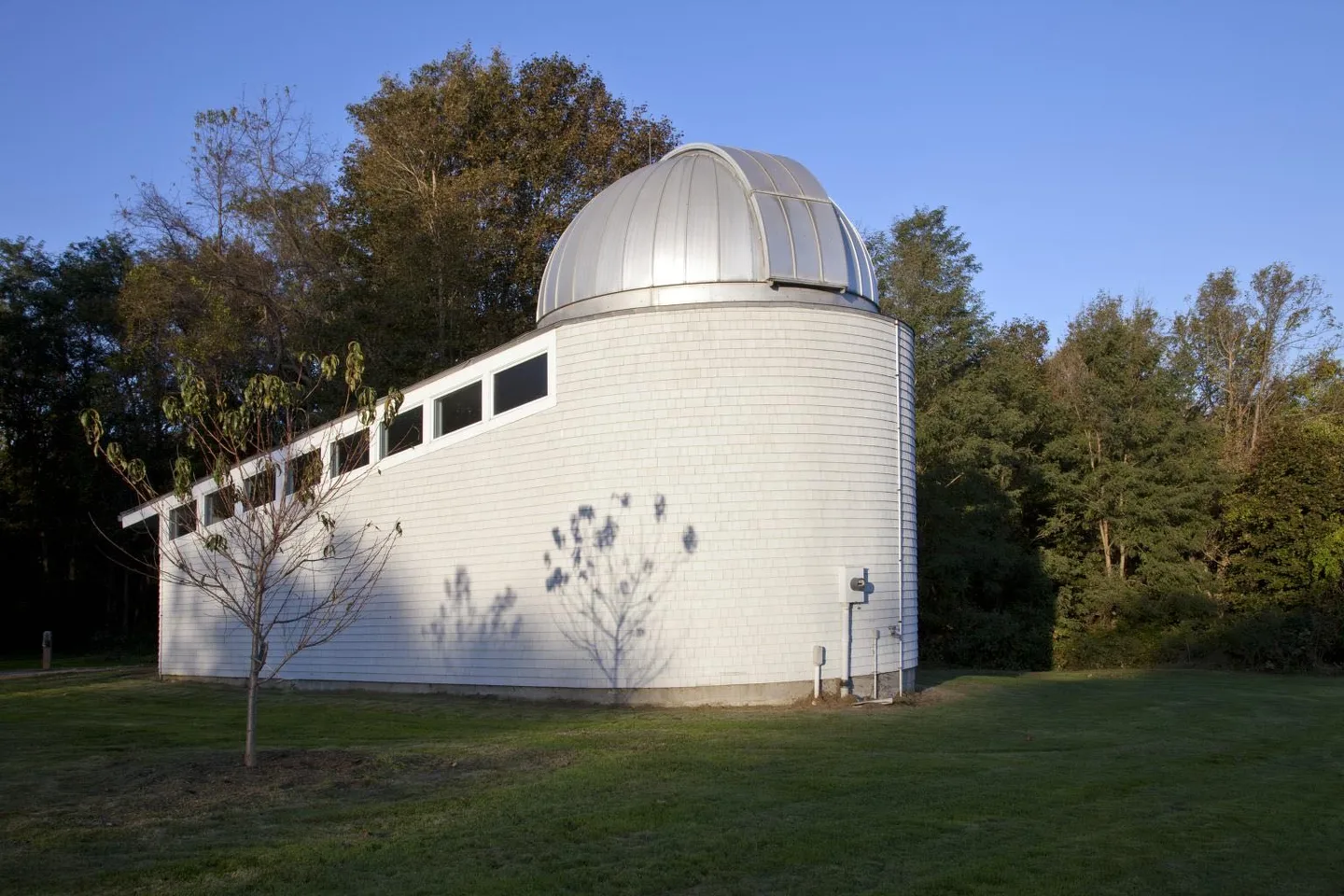
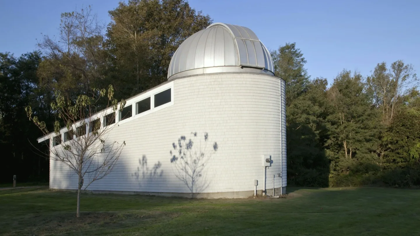
observatory-riseAI-animated from a public-domain photograph
This is a photograph. This is not.The photograph is shown whole and unaltered. Beside it, rise off the hill: an AI film started from that photograph. What it invents: the camera rise; everything outside the original photograph’s frame that the rise reveals; leaf and cloud movement.
The DEI timeline
Six chapters. Begin with a period that interests you.